Hiking Guide: Blue Hills Nahanton Hill Loop

View from the summit of the Nahanton Hill Loop
Some links in this post are affiliate links, meaning I will earn a commission (at no extra cost to you) if you click through and make a purchase. For more info, please see my disclaimer.
Trail Basics
Trail name: Blue Hills Nahanton Hill Loop (AllTrails map)
Location: Blue Hills Reservation, Milton, MA, USA
Trail type: Loop
Length: 5.1 miles
Elevation gain: 627 feet
Trail traffic: Heavy
Time to complete: 2 hours and 25 minutes
Difficulty: Moderate
Overall rating: 3.5 out of 5
My Thoughts
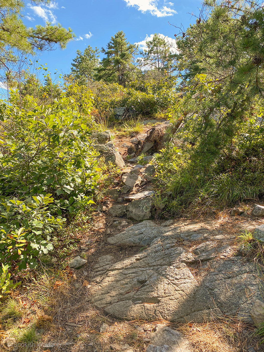
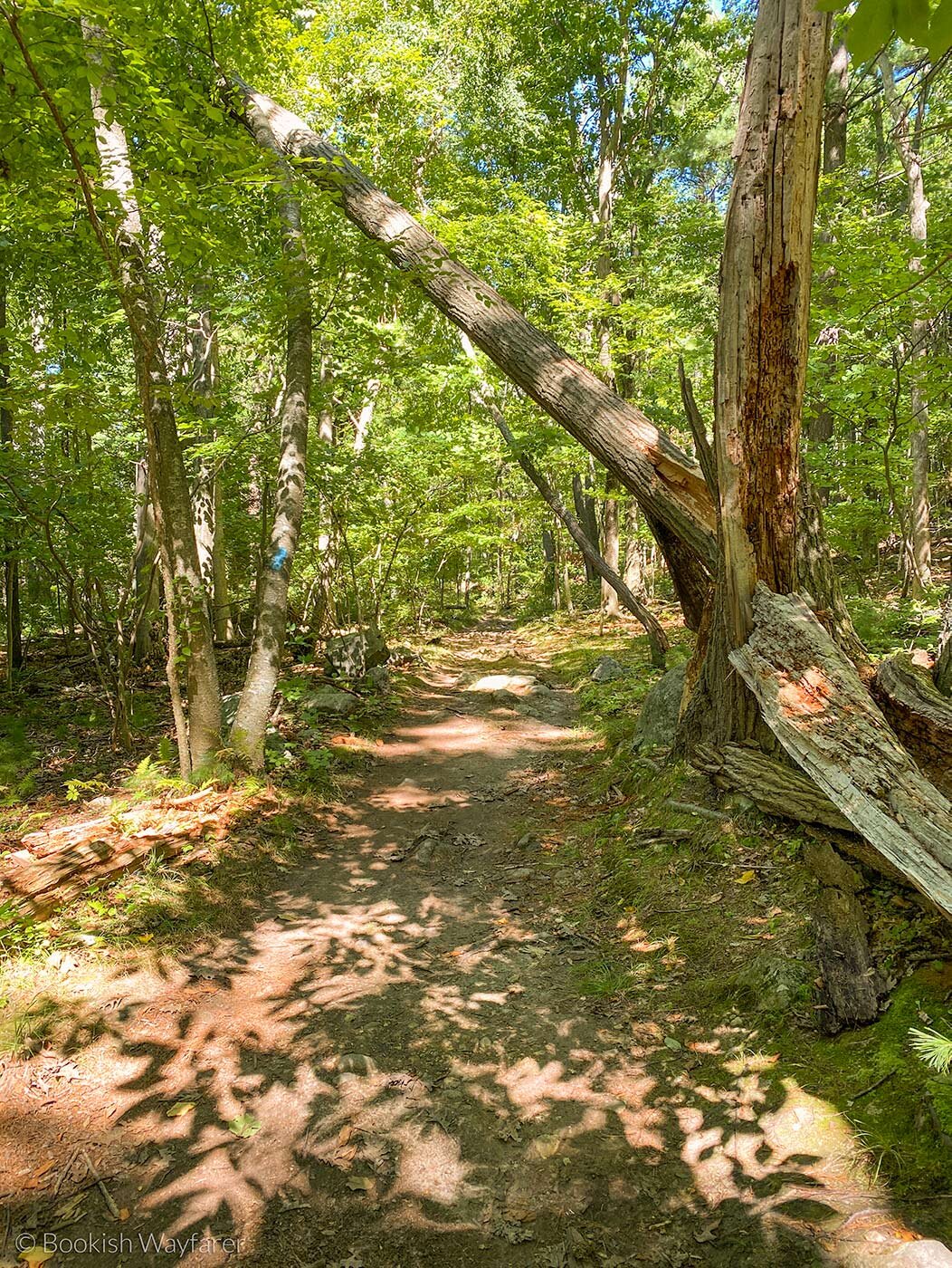
Terrain
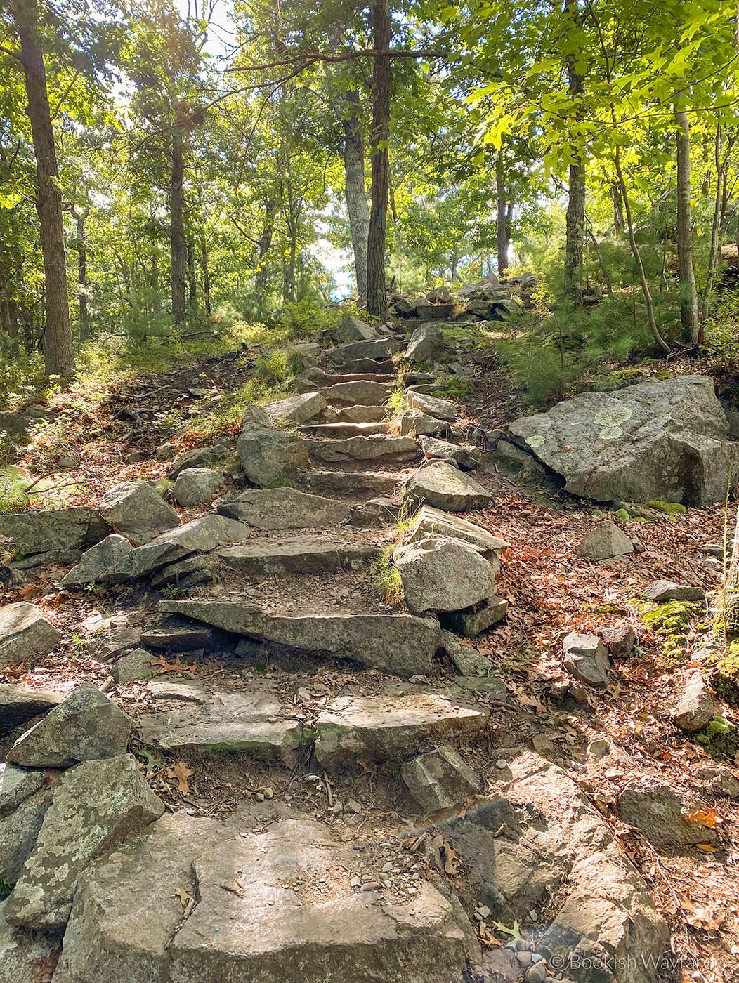
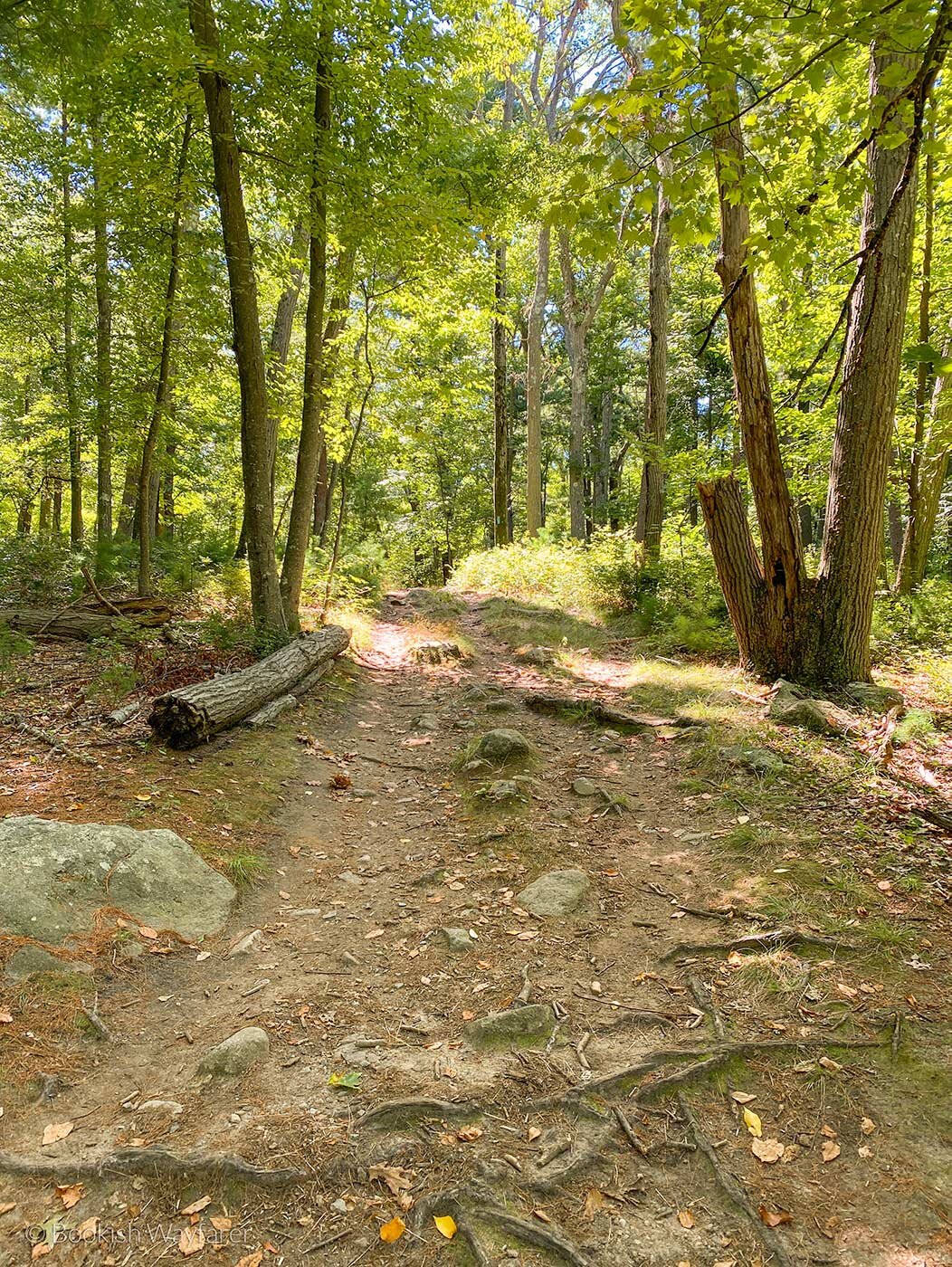
The trail is unpaved, consisting of a mix of dirt paths and rocky slopes. The rocky slopes are a bit hairy, particularly when descending, as it is very easy to slip and/or fall. When working your way through these rocky bits, be sure to test that a given rock is secure before placing your entire weight on it. Parts of the trail can become narrow, requiring you to walk single file if hiking with a group, and about half of the trail lacks shade, resulting in a lot of sun exposure. Lastly, the trail is not super well signposted; we had to rely fairly heavily on our AllTrails map.
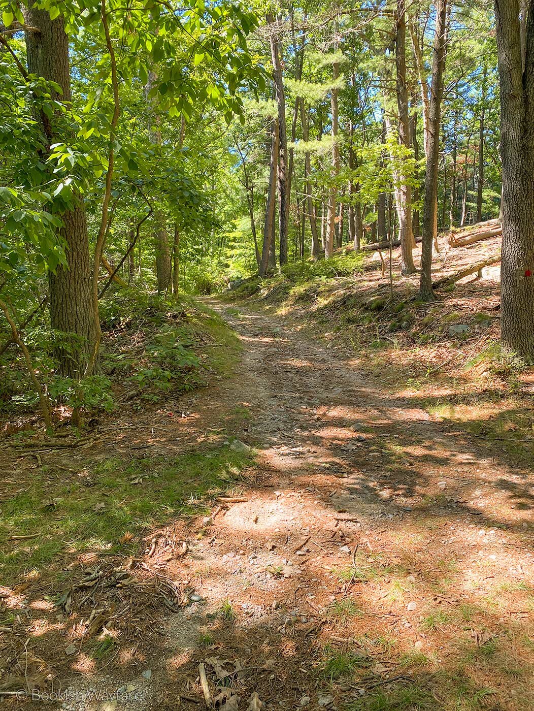
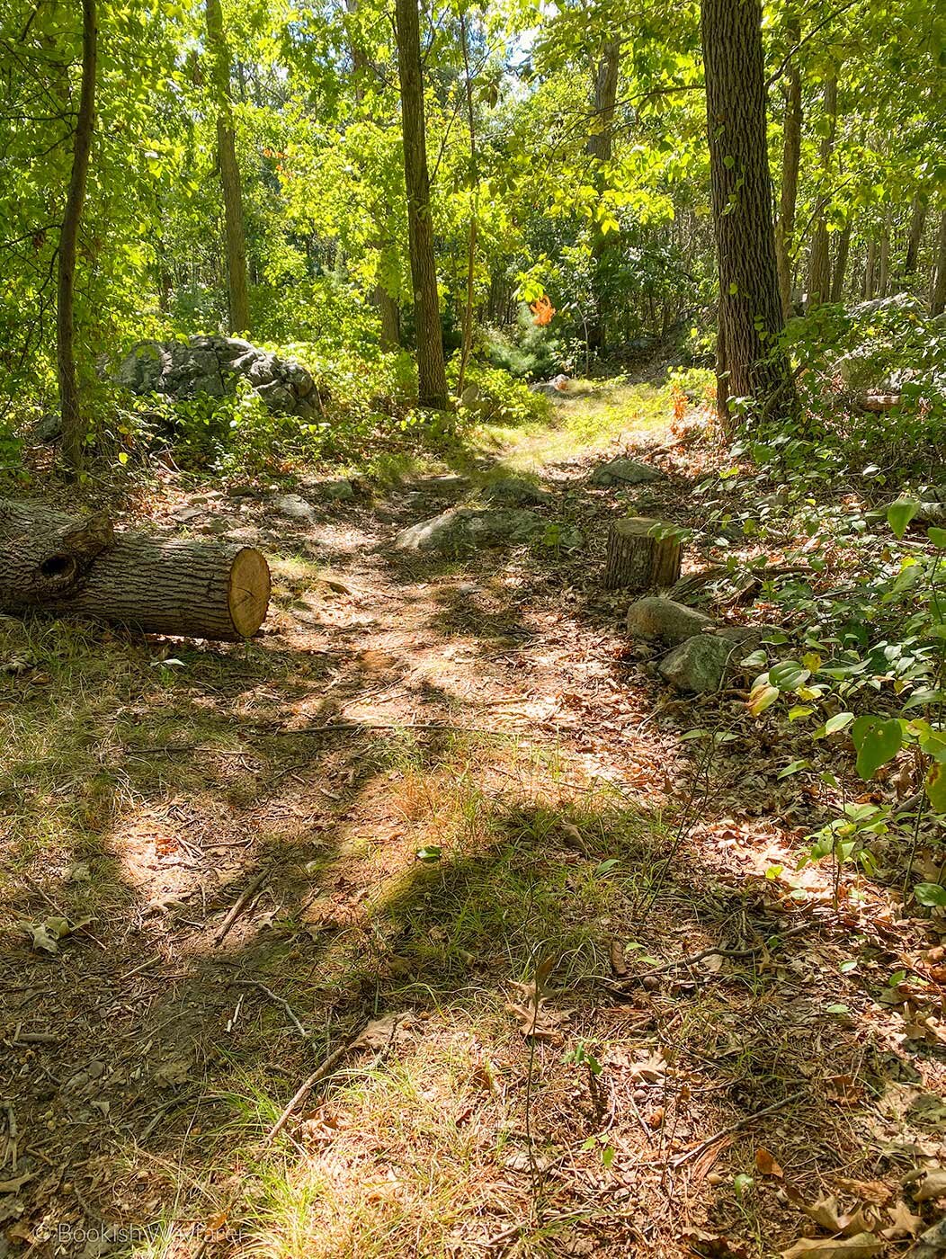
Scenery
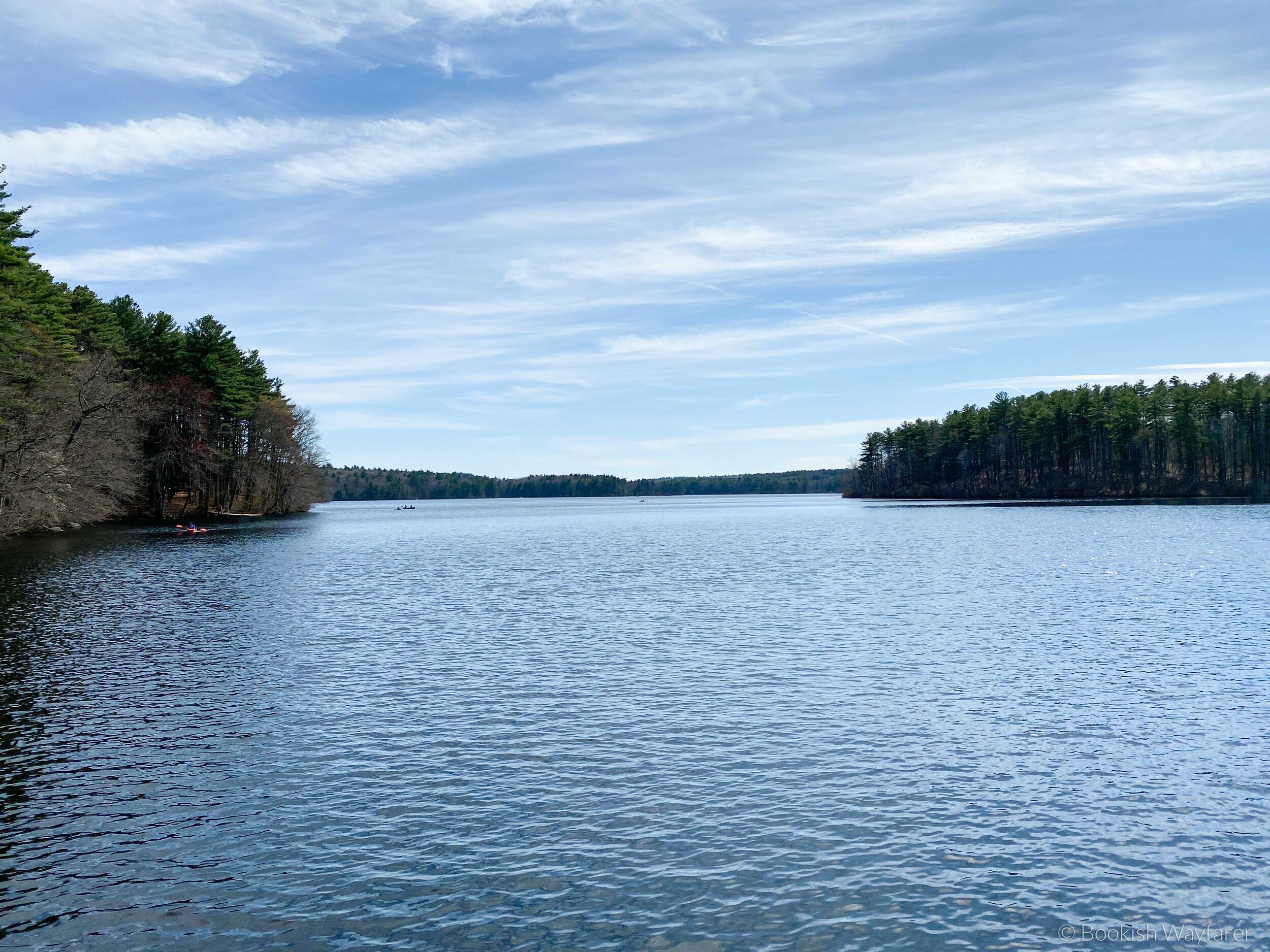
The bulk of the trail is through woods, so the scenery comprises your typical New England forest sights: trees, ferns, and the occasional wildlife (we were fortunate enough to see a deer). Portions of the trail also run alongside a solar panel farm, as well as a commercial area, so unfortunately, the trail lacks a sense of remoteness. The summit of the trail is nothing spectacular; it features a partially obscured view of Boston (it is not above the tree line).
Traffic and Parking
The first half of the trail was fairly light in terms of traffic, but as we progressed into the latter half, the traffic became quite heavy. The sheer number of people during the final part of the trail detracted from my overall enjoyment of the hike. With regard to parking, we were able to find it without any issue. The only downside is that the parking was on the side of a very busy road, so getting out of the parking area was a bit of a pain.
Helpful Tidbit
Wondering what you should pack for this hike? If so, read on for a few of my suggestions.
Shoes: At the very least, you should wear a solid pair of hiking shoes. For more support, particularly during the descents, wear hiking boots. My current hiking shoes are Hoka’s Anacapa 2 Low GTX; they’re both breathable and waterproof. As for boots, my current pair is no longer available, but Lowa’s Renegade EVO GTX MID looks similar.
Socks: Another important piece of footwear for hiking: socks. Aim for socks specifically designed for hiking that are breathable and moisture-wicking to help prevent sweaty (and stinky) feet. This pair of hiking socks from Bombas is one of my favorites.
Hiking Poles: I didn’t bring hiking poles with me when I hiked this trail, but I was sure wishing I had when I was descending some of the rocky bits. Black Diamond makes a variety of high-quality trekking poles, but their entry-level model should suffice.
Pants: I hiked this trail in the late summer and wore these basin pants from the North Face. They’re my go-to pants for hiking in the summer or fall, as they’re breathable, lightweight, and comfortable. Why not shorts? I once wore shorts while hiking and was left with some nasty cuts after falling.
Tops: I recommend wearing a breathable top, such as this cotton t-shirt from American Giant or this long-sleeve cotton shirt from Everlane. If it’s a bit chilly when you’re starting your hike, be sure to pack additional layers, like a sweatshirt and/or jacket.
Backpack: This is a non-negotiable because whenever you hike, you should be bringing water and food with you. Sadly, the backpack that I own (and love) is no longer made, but this one from Osprey looks similar.
Water Bottle: I like to carry at least two water bottles in my backpack: a 16-ounce Nalgene bottle and a 48-ounce Nalgene bottle. I keep the 16-ouncer in my side pocket for easy access, and I use the 48-ouncer to refill the smaller bottle.
Food: Don’t forget to bring food with you.
Tick Remover: As much as I wish it weren’t the case, ticks are fairly common here in New England, so I recommend tossing a tick remover in your backpack.
Trail Map: Don’t risk getting lost; bring a trail map. I used the map on AllTrails.
Sunscreen and Bug Spray: And last but certainly not least, be sure to pack and wear these!
Overall
Is the Nahanton Hill Loop the most exciting trail I’ve ever hiked? No, but it is a decent enough trail that is only a short drive from Boston.
-Julia
P.S. If you enjoyed this post, please consider supporting me on Buy Me a Coffee.